To be honest, in case you didn't know this, Singapore has undergone intensive flood management and modifications over the years. All these concrete canals that people complain about actually are the key to flood management in Singapore. From regular floodings from heavy December monsoons and flash floods, to a relatively uneventful "hazard-free" island country. I grow up learning simplistically that Singapore is a great country for FDI because we are safe from any natural hazards. Over the years, we became complacent. I even started to really believe that we are sheltered from all hazards.
Then we started to hear rumours about Singapore being potentially vulnerable to tsunamis, earthquake aftershocks felt in parts of Singapore and then landslides and now we have cars being half submerged due to heavy rains!
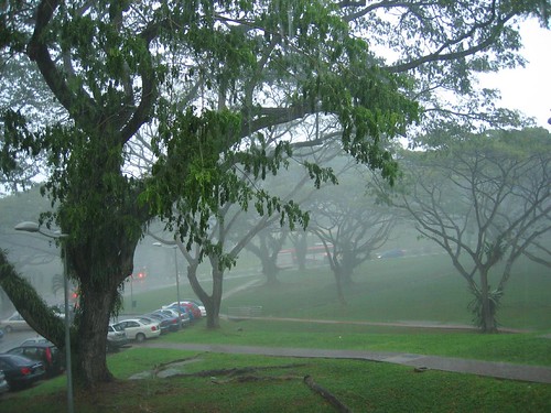
Most of these occurrences happen during this December-January period when Singapore is in the path of the northeast monsoon. The landslide in NUS Business School for example happened in January 2006 and earlier this year on 8 January 2006, I blogged about the extreme rain, landslides and comparative dry weather we had in 2005 that led to forest fires. So what is worse - floods or fires?
On 14 April 2006, I blogged about flash floods in Singapore and even then I noted how it is not from a lack of trying that we still continue to suffer from floods. Do not be mistaken. The Singapore government and various agencies have been working miracles over the years but it is time Singaporeans are more aware of the low-lying nature of our island. We are susceptible to flood. My mom recounted the days when my aunt lived downtown near the rochor, chinatown area where they were constantly plagued by annual floods. Back then, their beds were on stilts and things were never left on the floor. Floods were something people lived with.
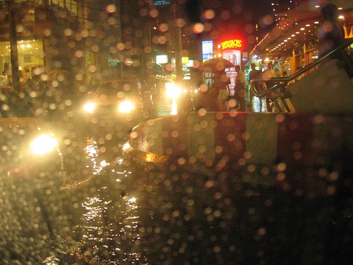
At least we no longer flood like Bangkok but we used to!
But now? We are unused to floods and therefore suffer from being caught off guard.
Hey, even the best gets caught unaware. Look at New Orleans. That is the place of regular flooding but even the city was wiped out due to unknown highs. In all my natural hazards textbooks, it is always written about how people try to predict what the highest flood level would be and then still getting caught off guard. What is a 100 year flood? The rain measurement we had on Tuesday was apparently the 3rd highest in almost 75 years. Still people get caught off guard because it's been such a long time since the last high which was in 1978.
If we all start to build levees and protective walls along our water channels, think of how high we have to keep building and how ugly it would be when somewhere in the lull period, somebody looks at it and complain to the gahmen as to why we need such a wall when there is no flood. So they tear it down and the next year we get hit by a flood. No no no, protective walls and levees are not the answer.
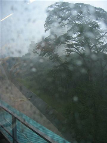
That is not just a massive longkang. It used to be a river but how much longer can it hold the water in?
So what is the answer? Perhaps the marina barrage?
It is written on the Marina Barrage website that one of the purpose of the barrage is for flood control.
"The Marina Barrage is also part of a comprehensive flood control scheme to alleviate flooding in the low-lying areas in the city, such as Boat Quay, Shenton Way, Geylang, Chinatown and Jalan Besar.
With the Barrage and other drainage projects concurrently being implemented, flood-prone areas will be reduced from the current 150 ha to 85 ha. A significant achievement considering that back in the 1970s, the flood-prone areas were about 3,200 ha."
How It Works
The barrage will separate the seawater from the freshwater and act as a tidal barrier to keep out the high tides.
Under normal conditions, the crest gates will remain in an upright position to separate the reservoir from the sea.
If it rains heavily during high tide, the crest gates remain upright and excess storm water is pumped out into the sea.
As such, with the Barrage in place, the pockets of low-lying areas in the city will no longer be prone to flooding.

Notice the low lying areas that were stated on the marine barrage website. These are the very same areas that the meteorological service sent a warning to yesterday:
i) Chinatown/ City area
Mosque Street, Pagoda Street, Temple Street, Trengganu Street, Upper Pickering Street between South Bridge Road and New Bridge Road, South Bridge Road, Upper Hokkien Street between South Bridge Road and New Bridge Road, Chulia Street beside UOB Plaza, Circular Road and McCallum Street/Boon Tat Link;
ii) Tanjong Katong area
Dakota Crescent, Meyer Place, Meyer Road, Dunman Road, Fort Road, Rose Lane and Stadium Road;
iii) Geylang area
Guillemard Road between Lor 26 to 32 Geylang, Lor 4 to Lor 22, Geylang, Lor 101 to 106, Changi Road and Langsat Road;
iv) Area off Jalan Besar between Weld Road and Kitchener Road;
v) Lorong Buangkok.
Police said that the flood at the junction of Admiralty Rd West and Woodlands Ave 10 has subsided.
Those areas that are mostly affected are usually the river delta, estuary areas, near a reservoir or large body of water or near the river. Of course, we think nothing of these waterways in our urban environment as over the years we have been writing them off as "drains" and "longkangs" instead of rivers with active hydrological processes. We begin to underestimate the powers of nature, rain, monsoon and most of all, the tide. But notice that there are also many other areas that are not covered under the Marina Barrage's coverage. In fact, in the April report on flash floods, "police said they received many calls about flooding in low-lying areas in Chai Chee, Bedok Reservoir and the PIE towards Changi". Even our airport will not be spared, surely being reclaimed, lowlying and near the coast. Previous flash floods have also inundated east coast and buried it under a large pile of sand from monsoon deposition. Of course immediate actions were taken to elevate these lowlying coastal areas. What more, all our storm drains and canals are connected to our reservoirs and as this current flood event showed us, the ones with pipes junctures leading to the reservoirs flood more easily! It's like being at the center of the traffic jam.
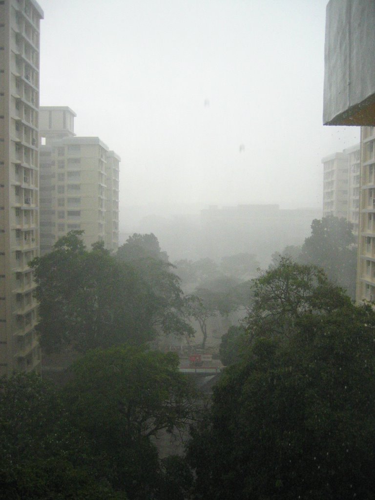
Friends, romans and countrymen, ultimately, the take home message is that:
WE FLOOD.Indeed, and very regularly as well! So what do we do about it? Well the government is already doing their best but it helps that we are on our toes and are aware of our environment. First of all, know when the monsoon season is. Second of all, if you see your pond being submerged, salvage the fish before it gets washed away. Make flood precautions. Do not walk near gushing drains in the rain if you know that you might get swept away. Don't get swept away then blame it on the government for not building railings. (Yes, seriously this happened near my house a few years ago) Most of all, opt for green cover instead of paving all our ground cover in your schools and estates! Trees, plants and grasses does an amazing ecological service for us in terms of moderating flood events. It's natural engineering.
Of course, perhaps the most logical for Singapore's case is to, STOP LITTERING. It was reported on the news that the Thompson road flooding was partly due to the cluttering of the drains with litter and even a fridge! This reminded me of a presentation by the waterways watch representative where they expressed the pains of seeing singaporeans litter our waterways! c'mon people, stop it. A fridge?!
CNA reported that
"According to the Public Utilities Board, about 1,500kg of debris — including plants and cardboard boxes — have been cleared from drains in Olive Road, the area worst hit by the rains."And again, even though the affected nursery at Thompson Road mentioned that flooding is a regular event in the area, this came unexpectedly. There have been so much research done in the past and even in the present about why people continue to live in flood plains but in Singapore, it's more a matter of our insensitivity towards our natural environment and its processes. Let's stop overestimating the engineering works, underestimating the powers of nature and our over reliance and complacency!
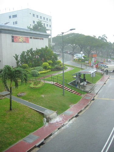
In this age of
climate change and sea level rise, there is more need for consideration of such things as flooding. Imagine if the sea level is already risen and add to that a major rain event and flash floods. More areas will be affected! The
landslide that occurred in NUS also happened during the monsoon season in January. What more, there is already landslides happening during yesterday's rain event. Add to that the concretization of all our ground cover, that makes the water runoff even more intensive and our slopes become more vulnerable to landslides. Our drain capacity is limited because it is afterall a fixed concrete container, unlike the natural abundance and flexibility of our soil. But even that is limited, much less our drains. When our drains overflow and our canals spill over, are you ready for it?
Updates27 Dec 2006 - "Slope failure forces two Singaporean families to evacuate homes" [
link]
Read full article here



















 I can be contacted at


